Longitude and Latitude — Earth Coordinates, Mapping, and Navigation
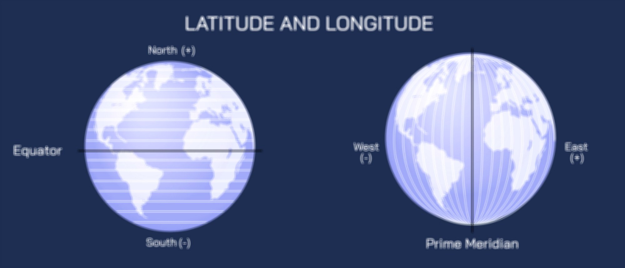
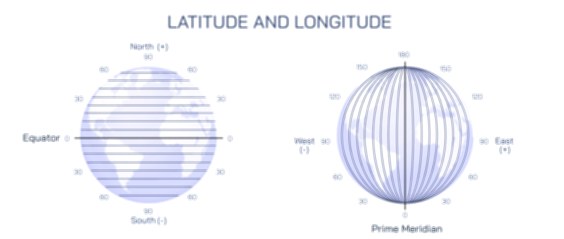
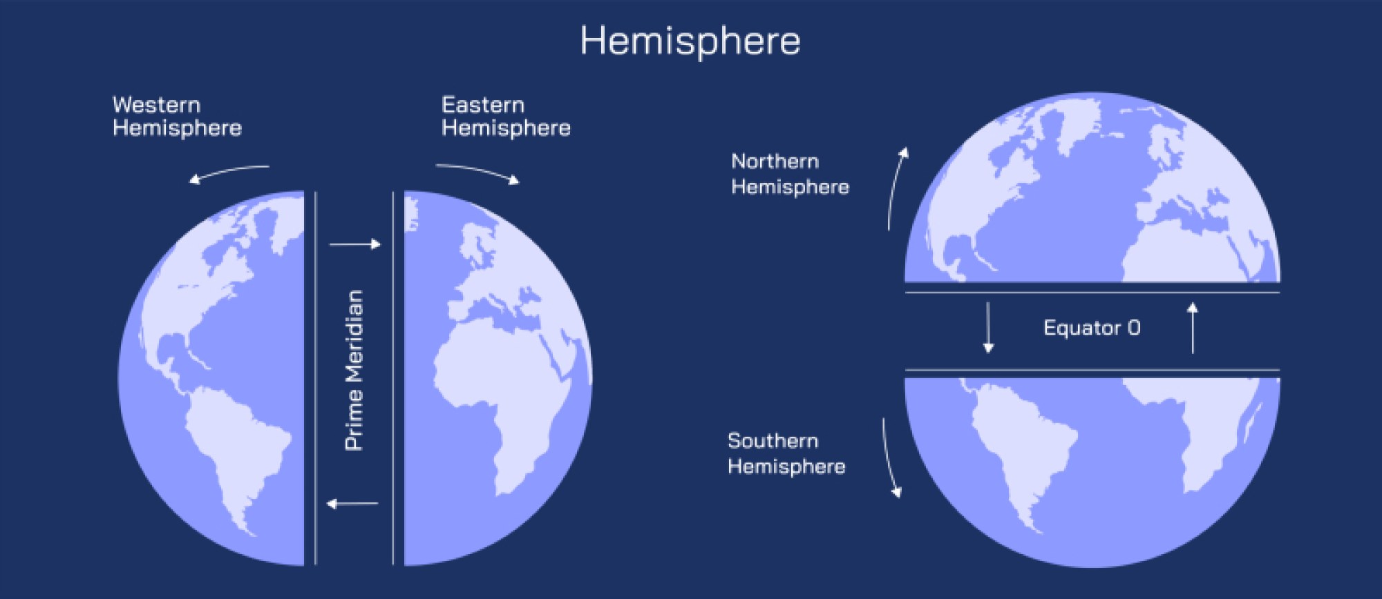
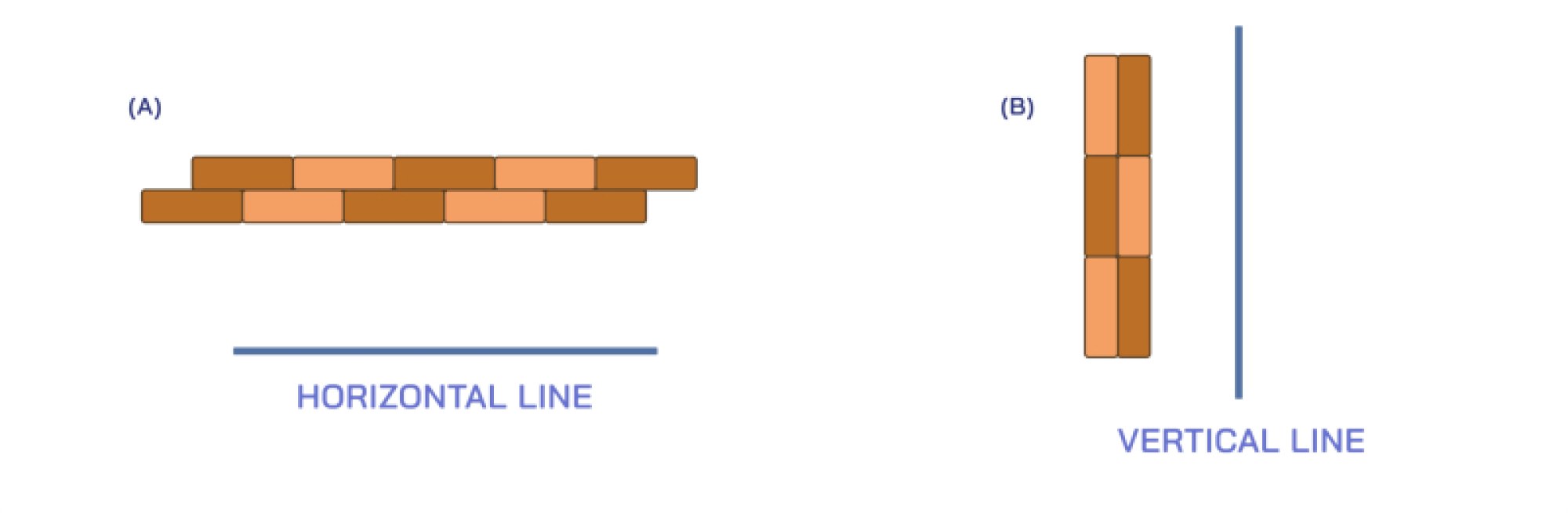
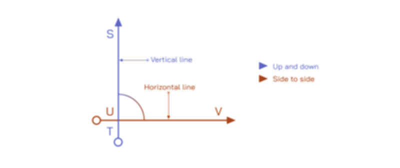
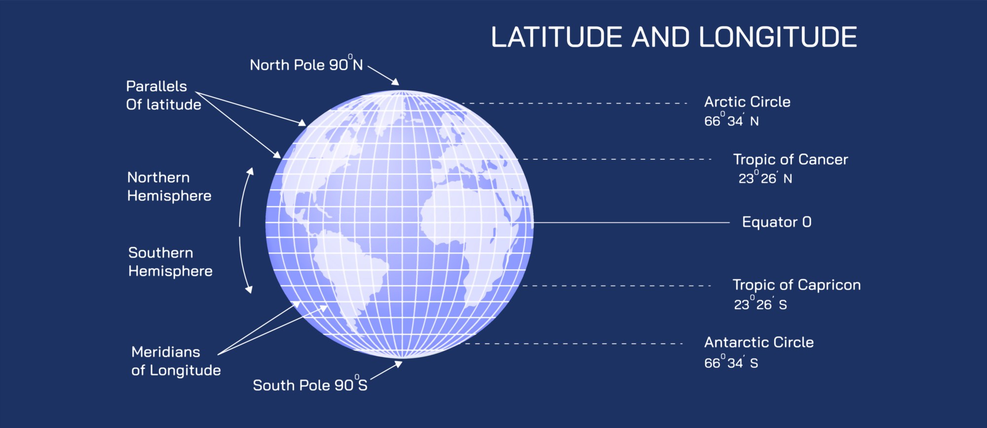
Longitude and latitude form the Earth’s coordinate system, allowing precise location identification and global navigation. This system divides the Earth into a grid of imaginary lines that intersect at right angles, enabling the determination of any point’s position on the planet. Latitude lines, also known as parallels, run horizontally around the Earth and measure the distance north or south of the Equator, which is at 0° latitude. They are measured in degrees, with the North Pole at 90°N and the South Pole at 90°S. Latitude affects climate, daylight hours, and temperature distribution, making it essential in geography, meteorology, and navigation.
Longitude lines, also called meridians, run vertically from the North Pole to the South Pole and measure the distance east or west of the Prime Meridian, which passes through Greenwich, England, and is defined as 0° longitude. Longitude is measured in degrees, with 180°E and 180°W marking the farthest points from the Prime Meridian. Longitude is crucial for timekeeping, navigation, and determining global positions. The combination of longitude and latitude coordinates provides an exact location anywhere on Earth, used in GPS systems, maps, and global communication.
The longitude-latitude system is widely applied in mapping, geolocation, and navigation. Sailors, pilots, and explorers historically relied on it to navigate oceans and continents. Today, GPS technology uses latitude and longitude to provide precise positioning for travel, logistics, scientific research, and disaster management. In addition, understanding the Earth’s coordinate system is fundamental for cartography, geography education, climate studies, and satellite imaging.
In conclusion, longitude and latitude are essential for representing Earth’s surface accurately and enabling global navigation. Latitude lines run horizontally from the Equator, while longitude lines run vertically from the Prime Meridian, together forming a grid that specifies exact positions. Mastery of this coordinate system is crucial in mapping, GPS technology, travel, navigation, and geographic studies, providing a universal framework for understanding and interacting with the world.